

NWS NEXRAD
Live weather radar
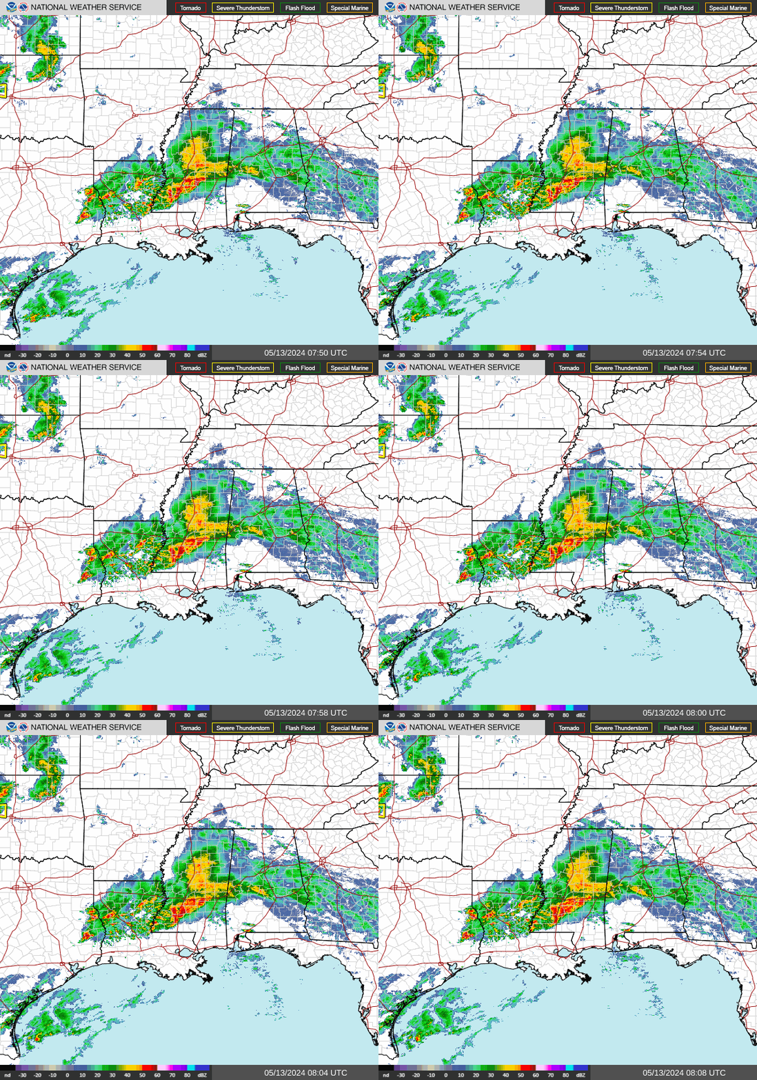
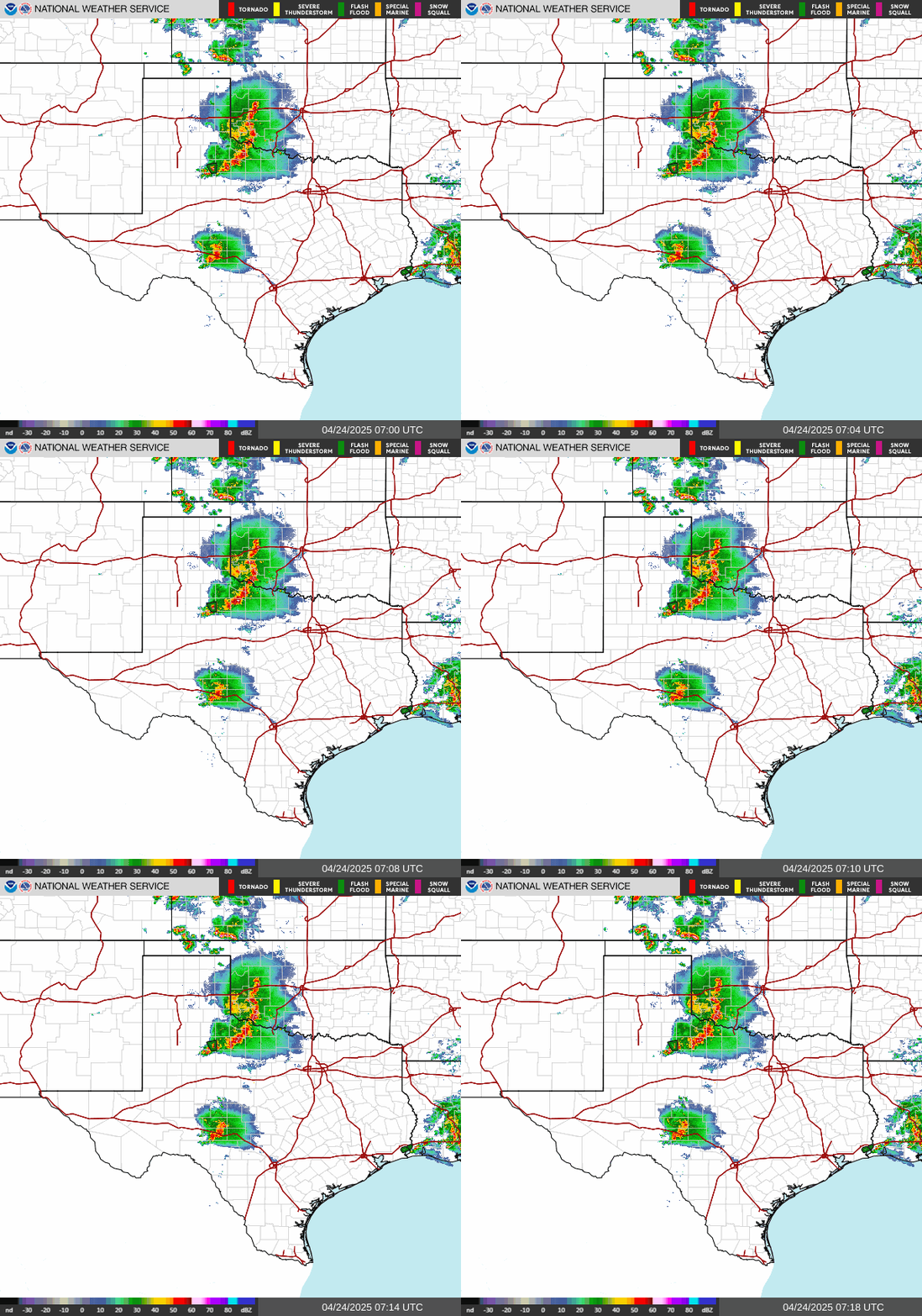
National and regional mosaics plus every NEXRAD site along the hurricane coast, refreshed by the National Weather Service every few minutes.
NOAA GOES-19 GeoColor, full disk
San Juan radar
TJUA · PR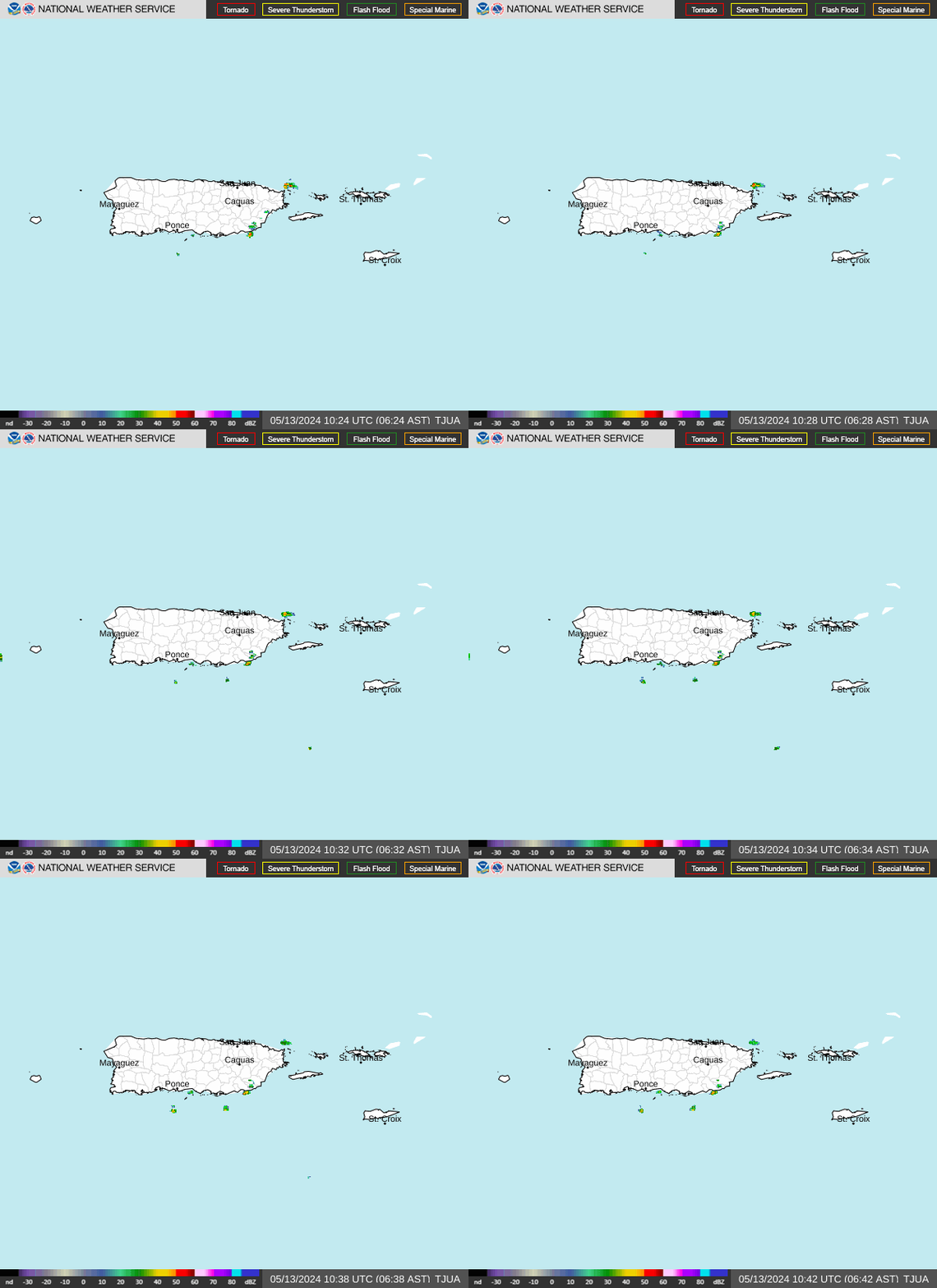
National and regional



Radar sites along the coast
Ordered from south Texas around the Gulf and up the Atlantic seaboard. Select a site to open its full size loop.
AL
FL
DE
MA
All coastal sites at a glance
Single frames rather than loops, so the whole coast loads in one screen.
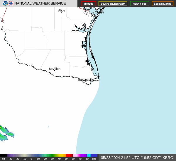 Brownsville KBRO
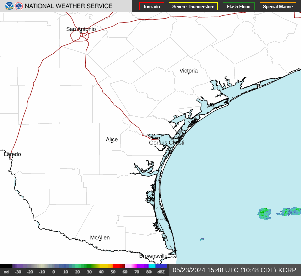 Corpus Christi KCRP
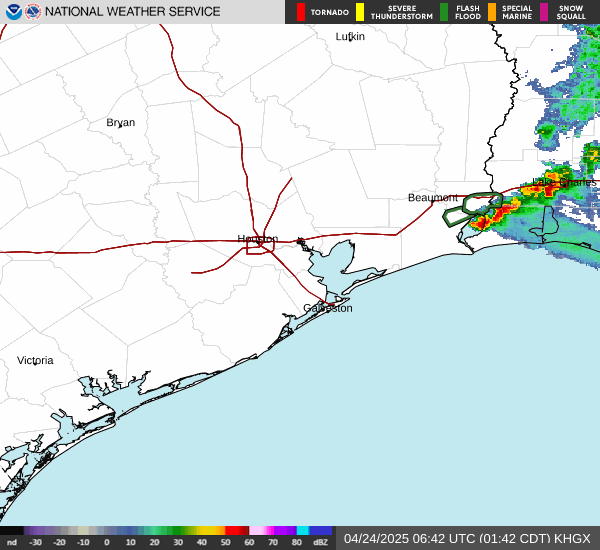 Houston and Galveston KHGX
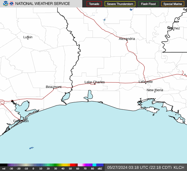 Lake Charles KLCH
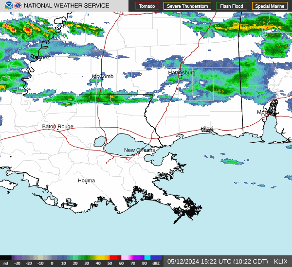 New Orleans KLIX
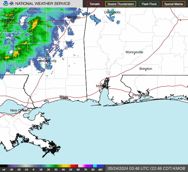 Mobile KMOB
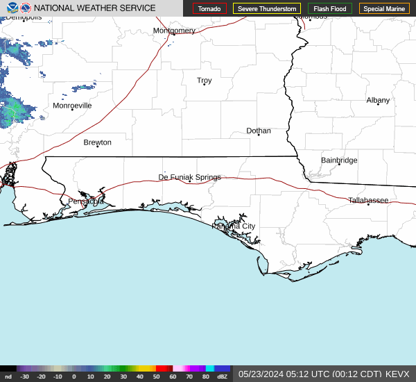 Eglin and Panama City KEVX
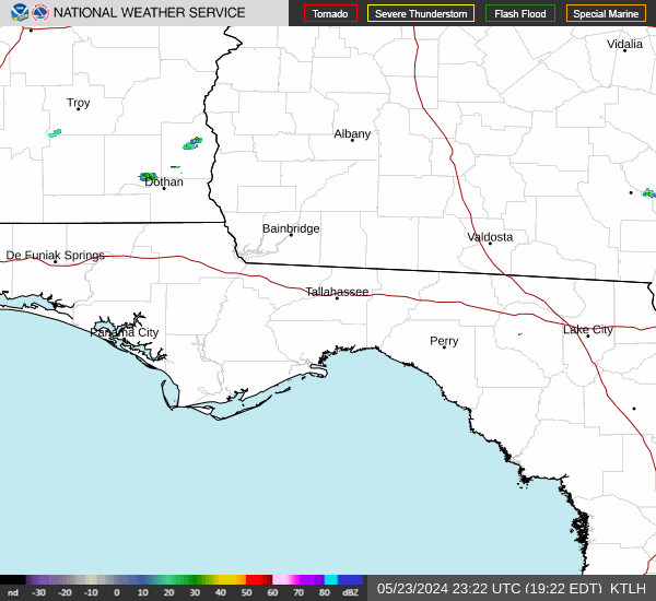 Tallahassee KTLH
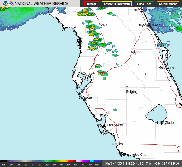 Tampa Bay KTBW
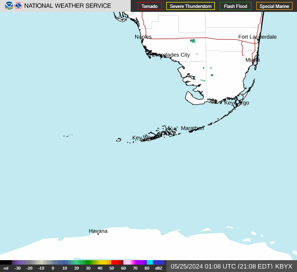 Key West KBYX
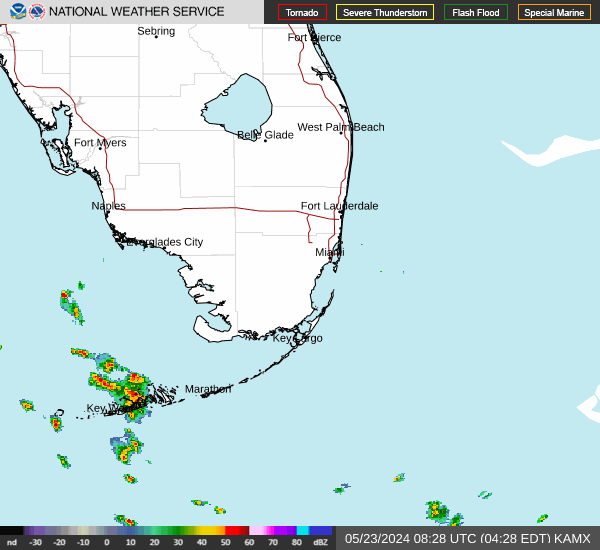 Miami KAMX
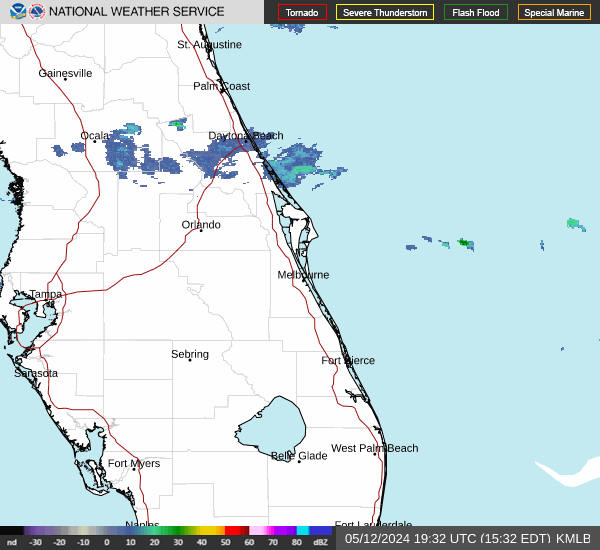 Melbourne KMLB
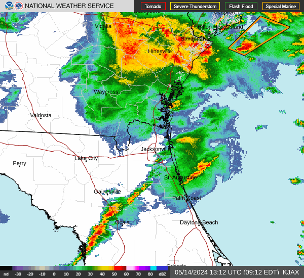 Jacksonville KJAX
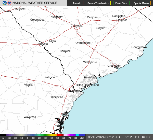 Charleston KCLX
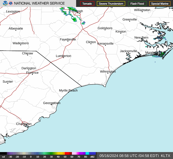 Wilmington KLTX
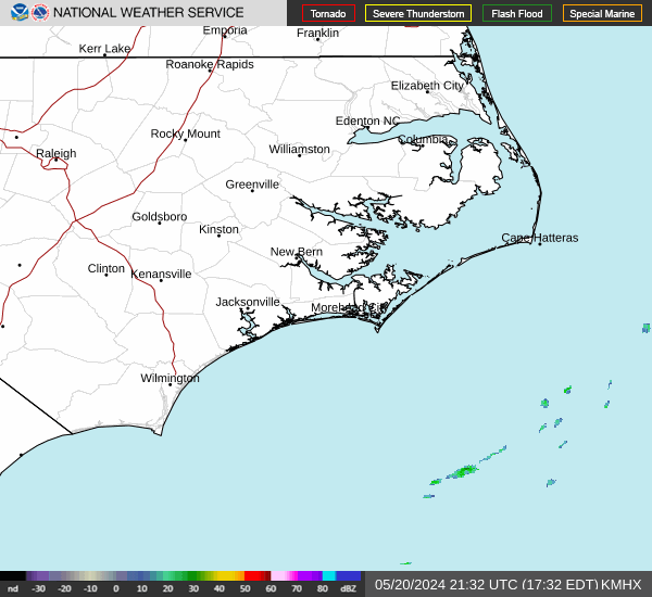 Morehead City KMHX
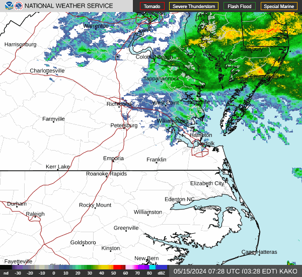 Wakefield and Norfolk KAKQ
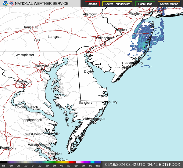 Dover KDOX
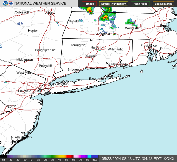 New York City KOKX
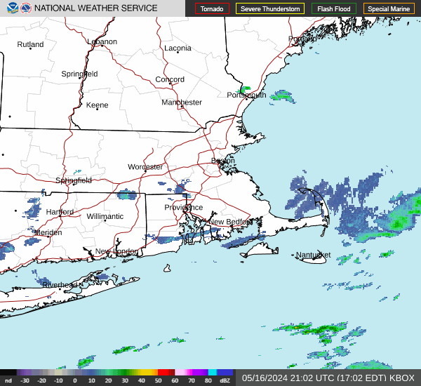 Boston KBOX
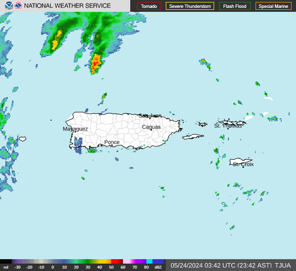 San Juan TJUA
What you are looking at
These are base reflectivity images from the NEXRAD network, the WSR-88D radars the National Weather Service operates. Colour is echo intensity: blues and greens are light returns, yellows and oranges heavier rain, and red or magenta the most intense cores.
Radar sees what is in the beam, and the beam rises with distance. At the far edge of a site's range it is sampling several thousand feet up, so light rain near the ground can be missed entirely while high level cloud shows clearly. That is why the coastal sites matter during a landfall: the storm is close enough for the radar to see the low levels where the damaging wind lives.
Imagery is served directly by NOAA and is public domain. What appears here is whatever they published most recently, not a copy held by this site.